Day 5 of King Alfred’s Way: Chalk steams and Roman roads
The day dawned grey again, but at least it was dry and quite warm. After some longish days for Part 1 (Wantage to Hindhead) and Part 2 (Hindhead to Winchester) of my tour of Cycling UK’s King Alfred’s Way, I had planned a medium day of just 45 kilometres so there would be plenty of time to visit Old Sarum. Apart from the time I wanted to set aside to explore the site properly, I had to allow for the site closing at 5 pm, with the last admission time of 4.30 pm.
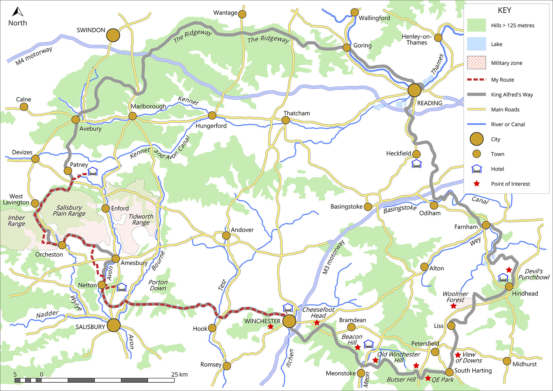
Days 5 and 6 of King Alfred’s Way – Winchester to Bottlesford in the Vale of Pewsey
So, Old Sarum was my target for the day. Although I did not plan to spend a lot of time exploring along the route, there is interest at every turn – as is the nature of King Alfred’s Way. First was charming Ham Green, an old drovers’ lane and resting place, with a brief history explained on a panel. A hollow way followed, with narrow rutted tracks. These always test my balance and confidence, but I made it without mishap.
And this set me thinking again about my getting older (I’m 69 in March 2024), and the effects of ageing. Yes, I was doing OK on this King Alfred’s Way trail, and it’s not known for being particularly easy. I still just assume that I’ll be able to do this, seven days in succession, with no rest days (well, half a day exploring Winchester), and I rather assume that I’ll find it fairly easy. A hangover from my younger years! When sharing these sentiments with a friend, the riposte was, “Well, many people your age, and younger, would not even try, and some that did would struggle and/or give up.”
I’d encourage any older riders feeling daunted by King Alfred’s Way to try it. And, with an e-bike, it really would not be difficult at all. I’m not ready to abandon my pedal bike, though. Not yet. The effort is still rewarding.
English wines and the Beast of Broughton Down
Passing some fine-looking vineyards at Chalk Vale, I checked out (Google) the wines made here and the prices – they are mid-range, and include varied reds, whites and sparkling. But I was not going to try or buy, so pressed on. I was now riding on mainly gravel tracks and small roads, enjoying the relaxed cycling and making good time. On this easier ground, I could spend more time looking at the countryside and villages, instead of focusing on where my front wheel was heading.
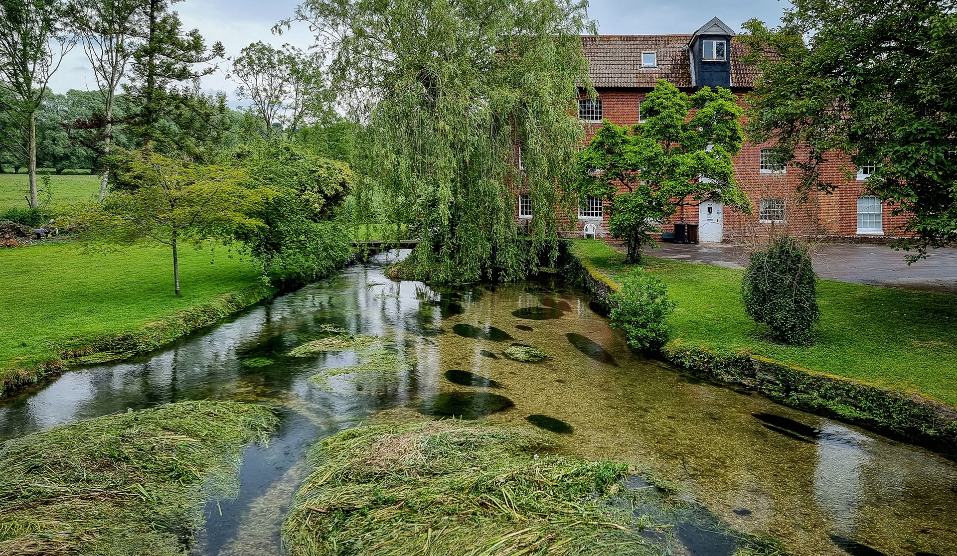
Crossing of the River Test, to the west of King’s Somborne

A Little Egret in the clear waters of the River Test
I was really looking forward to crossing the Test valley, with its celebrated chalk streams. By a mill, I saw a Little Egret feeding in the crystal clear water among reeds that waved dreamily in the steady current. I loved crossing the many branches of the river as they flowed through the woods and water meadows.
Then, after passing the flint and stone church in the pretty village of Broughton, I came across the community shop and café. There are several good reasons for stopping. First, it’s an impressive community-run resource, of which there should be a lot more. Second, its well-stocked so is a good re-supply point. And third, the excellent coffee and cakes are vital preparation for ‘The Beast of Broughton Down’, a steep off-road climb to the south-west of the village.
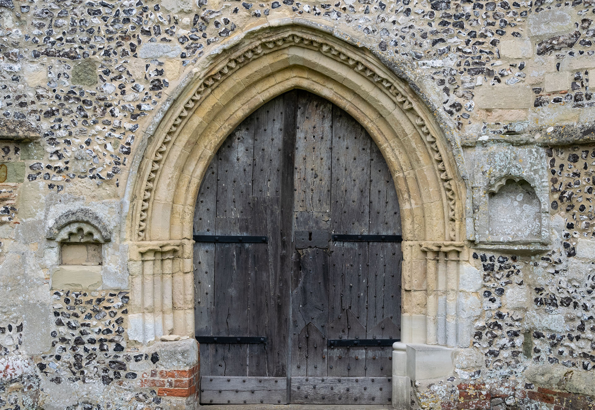
The pretty door of Broughton church, in Early English style, set into flint walls
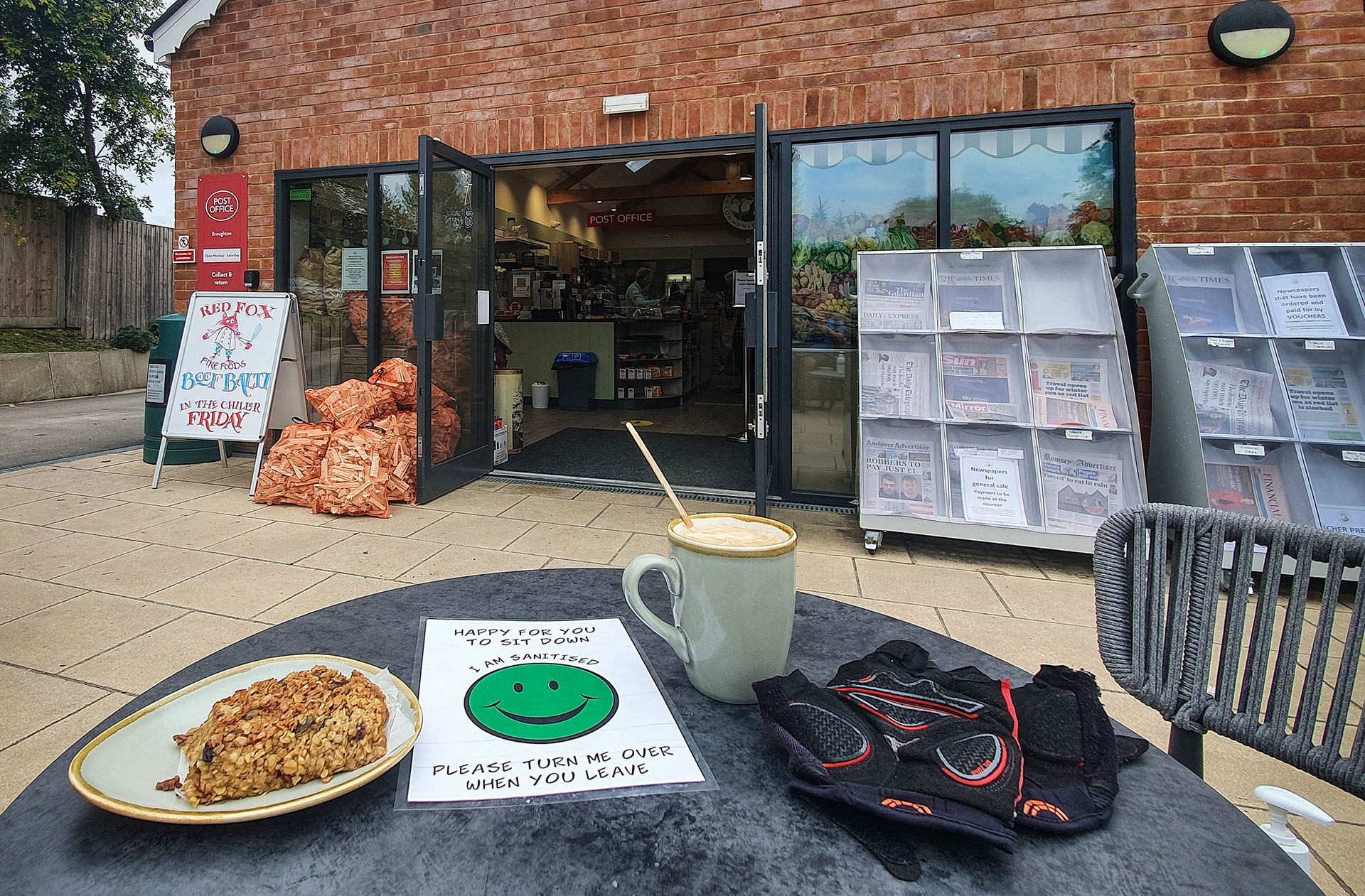
Broughton community café and shop
I managed to climb the beast, so either it was not as hard as the guide book implied, or coffee and cake did the trick. At the top, as I set off along the beech-lined trail, I met a cyclist about my age (not on an e-bike), riding King Alfred’s Way in the other (anti-clockwise) direction. It was his last day and he was taking it easy. He told me that the previous day, crossing Salisbury Plain, he’d had quite a show from the military, with exercises involving Challenger Tanks and Chinook helicopters.
I was hoping to see some ‘action’ myself, although it would be a Saturday, so likely quieter. You can check the ‘live-firing’ calendar easily enough for each of the main ranges [last accessed by author, 06/03/2024]. According to the web site, it looked as though some manoeuvres were scheduled for the next day, so hopefully I would not be disappointed.

Pyramidal orchid, one of many spotted along the route between the Test Valley and Old Sarum
Continuing westwards, I was on a Roman road – one of three that converge from the north and east at Old Sarum. The going was a bit tiring, with ruts, and the classic Roman-road habit of going straight up and down the hills, but there were no major challenges on this section. Much of this section of King Alfred’s Way is very pretty, and I found many beautiful orchids in flower.
Three thousand years of history at Old Sarum
Even from some several kilometres distant, as I approached from the east, the great, grassy banks of Old Sarum were visible as an alluring landmark on the horizon. It’s a truly amazing place, and worth planning to spend a couple of hours exploring the site.
Devoting a little time to the history of Old Sarum really pays dividends, as, without some insight into this, the visitor may well be singularly unimpressed. Yes, the double ring of vast earth banks, heavily wooded on the western side with lovely old beech trees, offer a glimpse of the site’s prehistoric origins, and provide for a pleasant walk with beautiful views. But the very degraded stone ruins of William the Conqueror’s fortress, and the even less remarkable masonry outline of the once great cathedral, seem at first sight to offer little more.
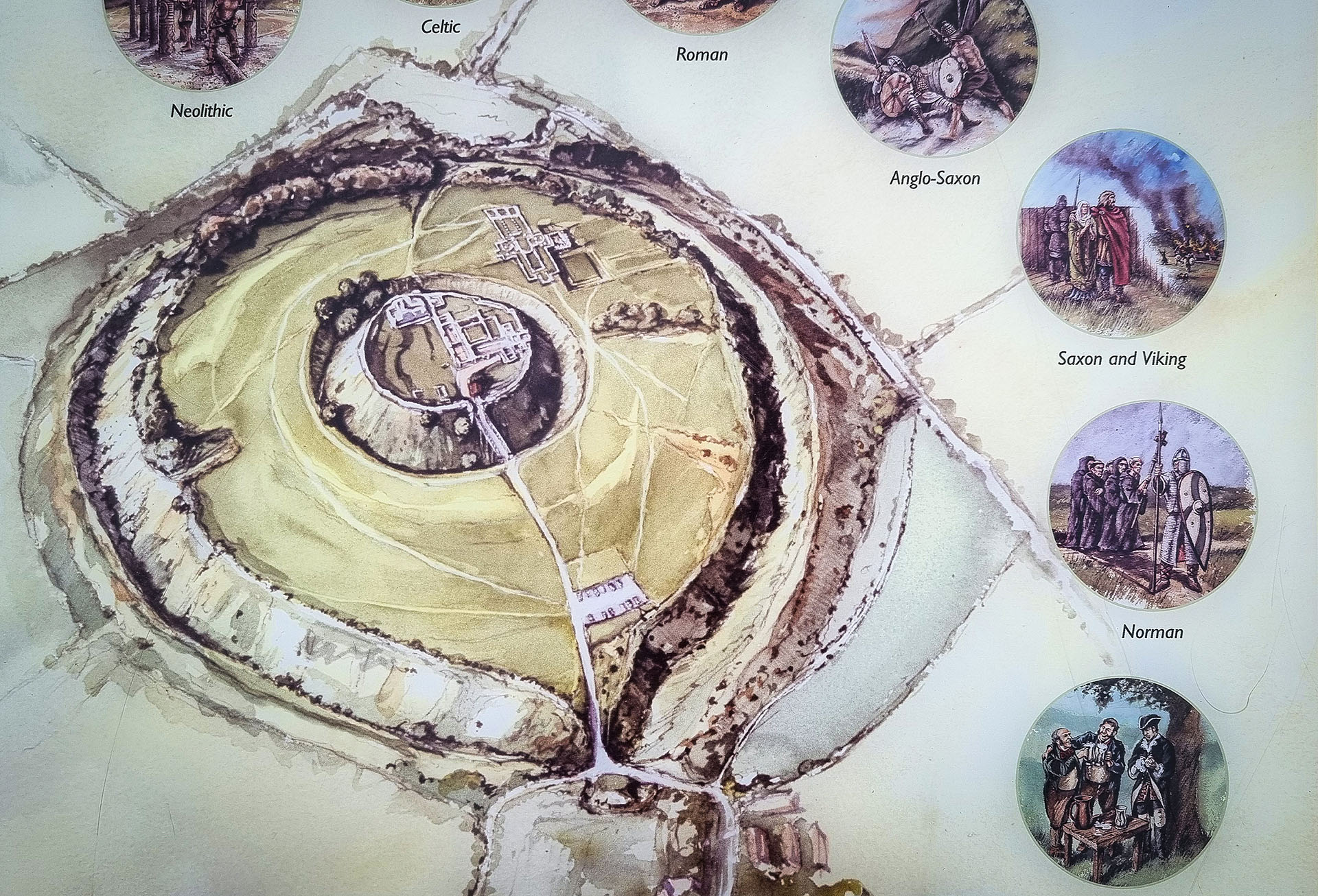
Illustration of the occupation of Old Sarum from the Neolithic period to the Middle Ages, one of the most interesting sites on King Alfred’s Way

Artist’s impression of Old Sarum Abbey in the 12th Century
Historic England (that part of what was English Heritage, which now manages sites for the public) have done themselves proud here. Liberally scattered around the ruins are illustrated information panels that bring the world of this once wealthy and powerful community to vibrant life. Here we learn how through the ages, the site was populated as an Iron Age fort, the Roman settlement of Sorviodunum, a pre-Conquest Anglo-Saxon community, then the great Norman stronghold with a cathedral (the first church having been destroyed soon after its construction by fire, and replaced with a much larger one), and thriving commercial centre.
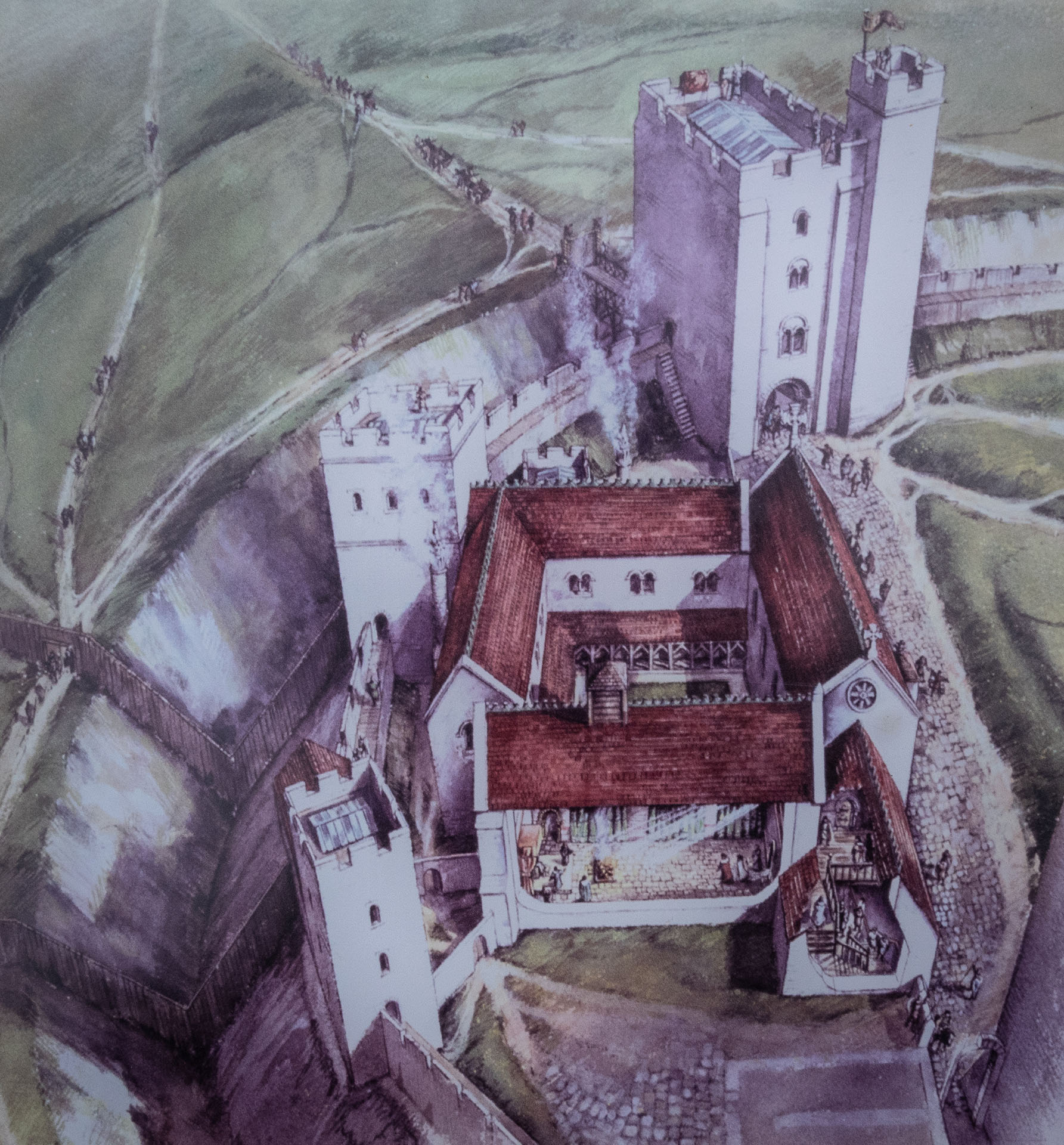
Artist’s impression of the Norman Castle at Old Sarum
With the available land becoming crowded, and the Bishops wanting a new and grander cathedral in nearby Salisbury, Old Sarum began to decline. By the 15th Century, the best stonework had been stripped out, which is why most of what is left at Old Sarum is the less than decorative in-fill masonry. The ensuing centuries saw Old Sarum more or less abandoned, and it was only through archaeological work in the early 20th Century that this historical treasure trove was rediscovered under grassy, overgrown mounds.
There is of course another, and more shameful, chapter in the history of Old Sarum, through which it gained infamy as one of the smallest of the ‘Rotten Boroughs’. These were communities with tiny populations that nevertheless returned a Member of Parliament, a corrupt practice that was finally outlawed under the Reform Act of 1832. In the case of Old Sarum, the MP represented a population of one small farm, with a few cows. Thank goodness corrupt practices are no longer a feature of modern democracy in the UK …
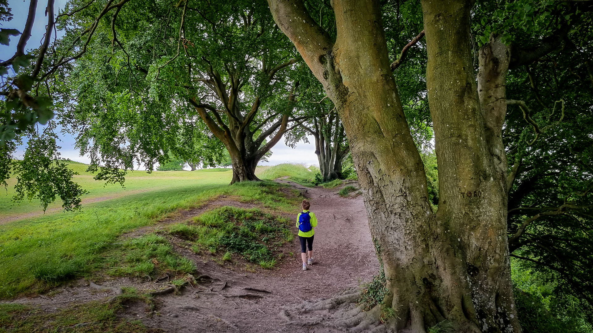
Among the great beeches on the earth ramparts of Old Sarum
As I returned to my bike and prepared to continue northwards along the trail, three King Alfred’s Way bikers turned up to the entrance. It was by then around 4.30 pm, and the site was effectively closed. They were on Day 1 of their trip, having started from Winchester, maybe a bit late in the day. Anyway, the moral of this tale is that, if you want to visit Old Sarum, do leave enough time!

A delightful old bridge over the River Avon, between Salterton and Netton
The trail then headed across fields, through woods and dropped steeply down to the pretty valley of the Avon. Passing a charming bridge, complete with swans, I found that I’d given myself a stiff end-of-day climb up to my hotel at High Post on the A345.
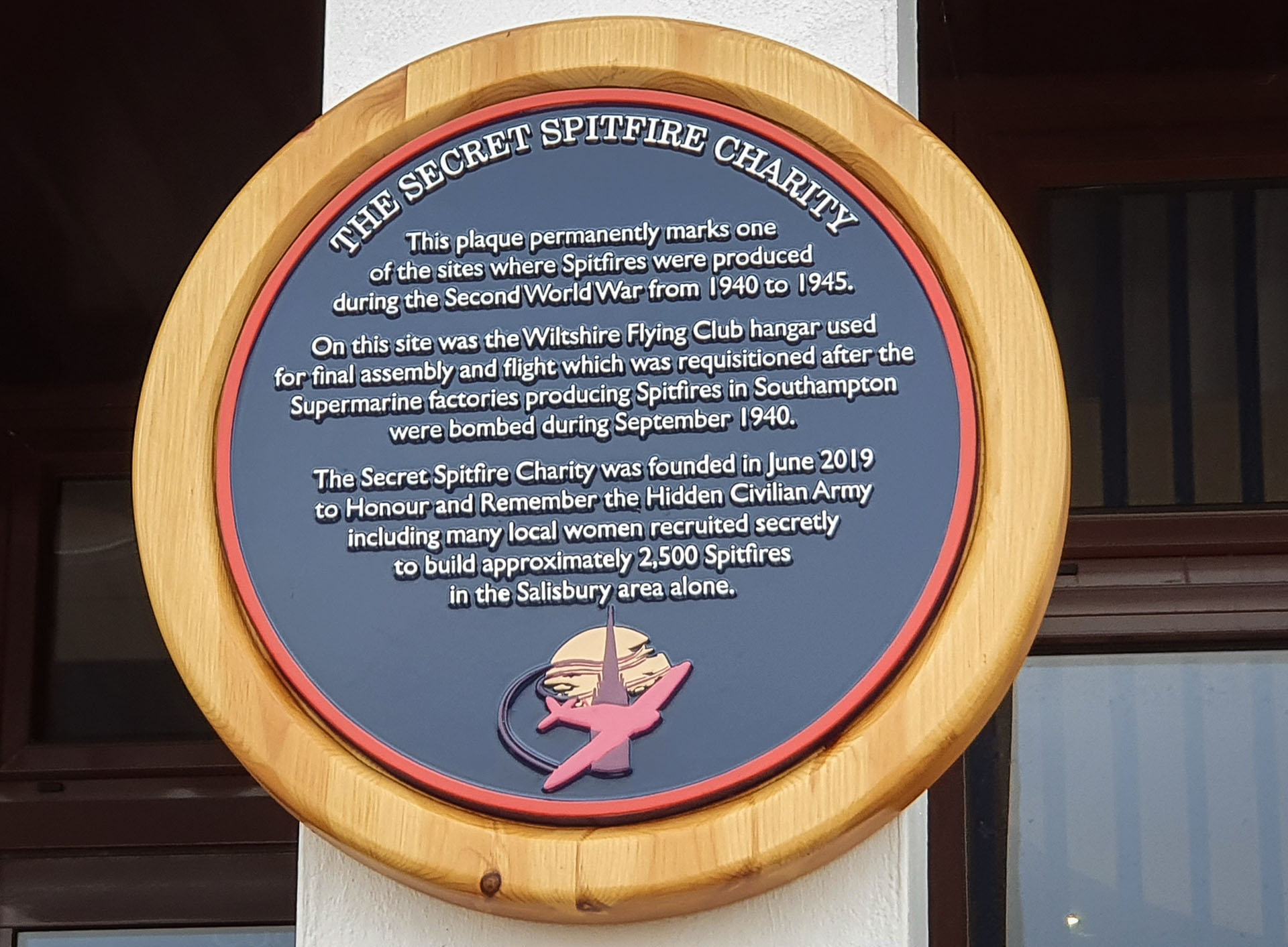
Supermarine Spitfire assembly memorial at the Chemring facility, near High Post
Near the top I passed a large factory complex, Chemring Countermeasures, which describes itself as ‘a world leader in protecting air and naval forces from the threats posed by heat-seeking and radar-controlled missiles’. This was perhaps a good introduction to the military world I would cycle through the next day, but what caught my eye was a memorial plaque, placed, somewhat enigmatically, by the ‘Secret Spitfire Charity‘.
This explained how the facility was involved in manufacturing Supermarine Spitfires during WW2. The aim of the organisation is to remember the ‘hundreds of women and men of Salisbury who contributed to an astonishing part of the city’s history by building almost 2,500 Spitfires in total secrecy.’
Day 6: Ancient stones and Challenger tanks
Up on my ridge outside the hotel, a pale sun shining through the mist promised a fine day. Cycling back past the secret spitfires, I crossed the Avon and reached the tiny village of Lake. Its all pretty, but the highlight is the 16th Century manor, currently the home of musician Sting and his actress wife Trudie Styler. Unsurprisingly, it’s hard to get a good view of the house from the west side of the valley due to the surrounding trees.
The guidebook offers two alternatives here. One continues north and through Amesbury, offering supplies, accommodation and an easy means of crossing the A303. The other, by turning left in Lake, takes a track through Springbottom Valley, but brings you out at what must rank as one of the world’s most insane road crossings. More on that, shortly. For now, this route follows a delightful, grassy track, climbing gently past meadows through Springbottom Valley, passes a farm, then continues up onto downs. From some distance, large prehistoric barrows (burial mounds) are visible on both sides of the trail on the top of the hill.
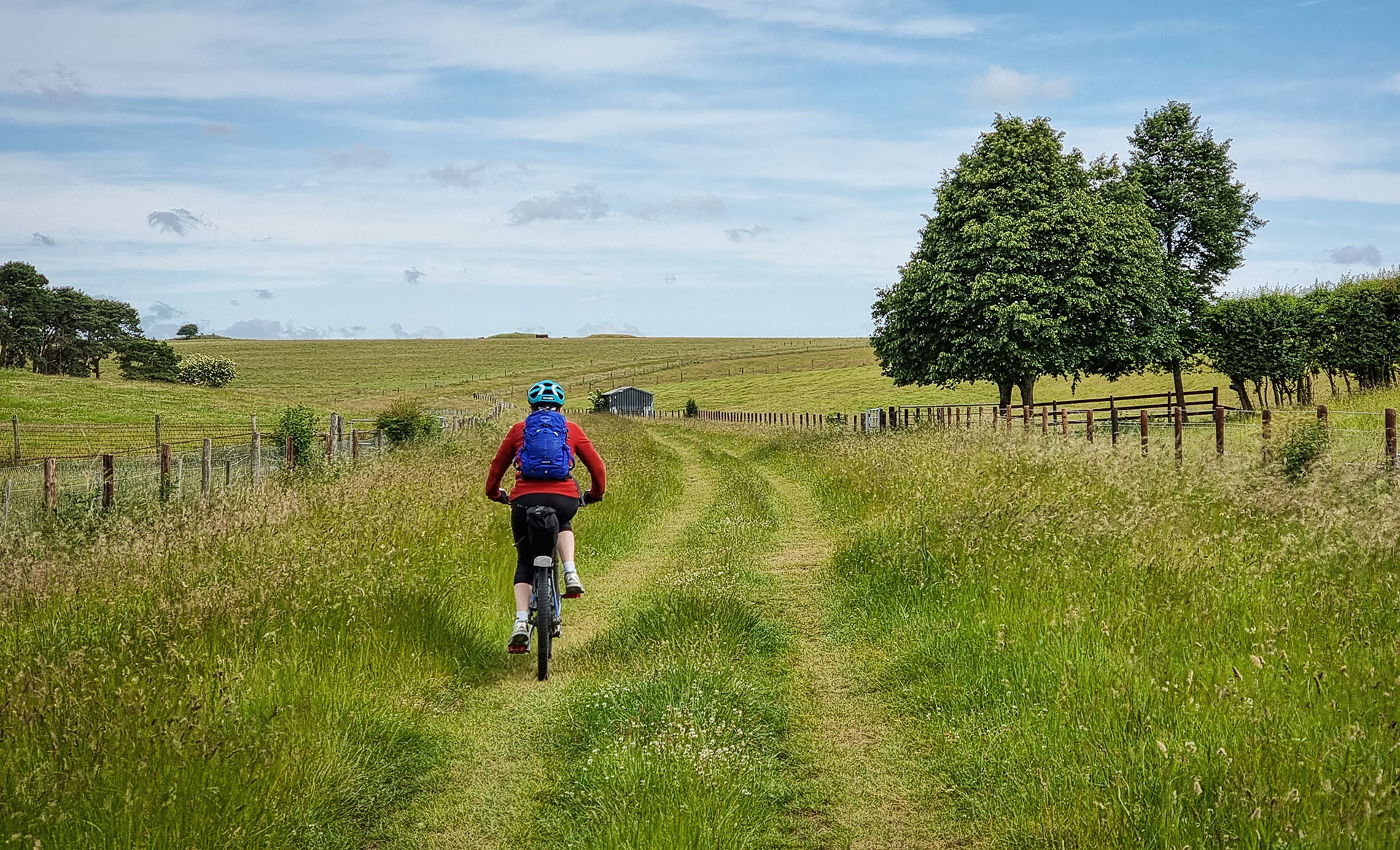
Riding up Springbottom Valley towards large tumuli on the horizon, with Stonehenge just beyond
I could already hear the roar of the A303 long before I crested the ridge, which also opened up enticing views of Stonehenge on the other side of Hell’s Highway. Getting across the road to The Stones was surreal. I stood at my bridleway crossing, looking at the constant streams of traffic coming in both directions. And, I mean constant, solid, and moving at around 40-50 miles per hour (64 to 80 kph). Yes, it was a Saturday morning, but this road has a reputation, and is rarely quiet. A walker I met just before getting to the road said it took him 10-15 minutes to cross, and he did not envy me. After a few minutes observing the patterns and behaviour of cars, trucks, and camper vans, all of which ignored me, I figured there were not going to be any comfortable, synchronous gaps in the two streams of traffic. It looked as though I would need to take control of the situation, and assert my ‘rights’.
I moved a little way out into the road, bike in hand, and stared hopefully into the eyes of an approaching driver. He slowed … there was my chance! Apprehensively but committed now, I moved further out, then turned to see what was coming the other way. I repeated my non-verbal plea to the oncoming vehicle, which also slowed. A few more hurried steps, and I was across, waving my thanks.
Shaken and somewhat stirred, but alive, I set my sights on Stonehenge! I decided not to bother with a proper visit, as the visitor centre is 2 km away, and there is a bike track that runs along the north side that gives great views across the boundary fence. What an incredible structure, with such history and significance.
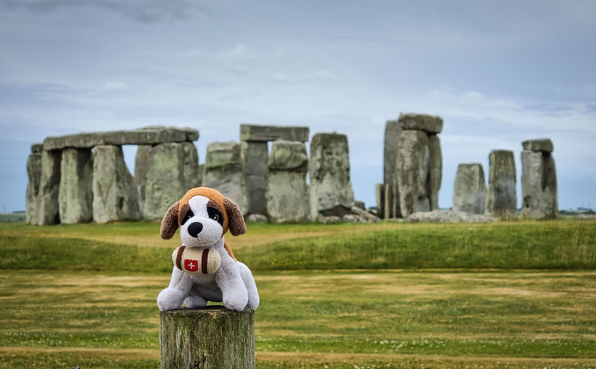
My King Alfred’s Way (and bike-packing) mascot, Bernie, at the Stones

Life on the track that passes Stonehenge
Back on the bridleway that heads north to the artillery ranges, I was soon among the ‘colourful’ camper vans of ‘The Convoy’, or similar; people who live on the road, on the edge of mainstream society. I rode past a couple of times to get some pictures and video, with Stonehenge behind and with a backdrop of music, fires, and a skeleton. Fascinating. The second time I came past here (not solo – I was bikepacking with my wife), it was the day of the summer solstice; all the vehicles had been moved away and there was a strong security presence.
A few kilometres on, I reached the military towns of Larkhill. It seems to the casual visitor (like me) a rather a soulless place, but it’s probably a close community for army families. I found a shop, and picked up some supplies.
Then, with mounting anticipation and listening out for gunfire and tank engines, I set out onto the ranges. At the Bustard pub, it was red flags to Westdown, so had to take the alternative route via Orcheston. I’d read about the training village Copehill Down which sounded worth a detour, so followed rutted tracks for three kilometres across fields to find it.
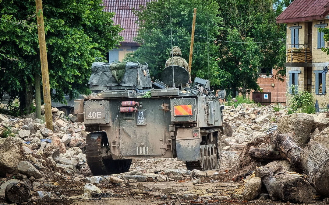
Seeing evidence of tank tracks in the mud, I rode between clumps of trees and emerged at an entrance to the ‘village’. A street, modelled on a German community that NATO forces would likely have experienced in combat, was lined with battered houses, debris from the buildings, and an old armoured personnel carrier (APC) part buried in rubble. Waiting at the entrance with engine running, was a Challenger-2 tank, and on the opposite side a Bulldog APC. The crews of both vehicles were going about their business, and seemed disinterested in me and my camera. The village has featured in number of films, including ‘1917’ directed by Sam Mendes.
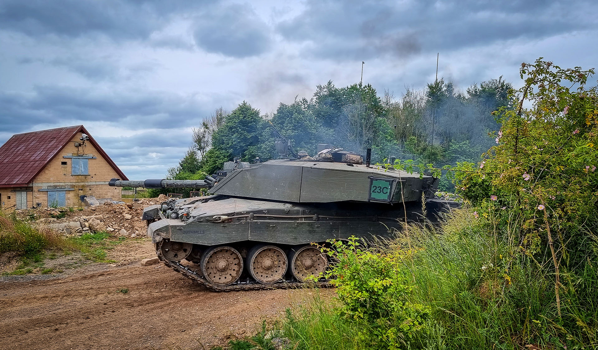
A Challenger-2 tank on manoeuvres in the ‘German Village’ training area at Copehill Down, near Orcheston
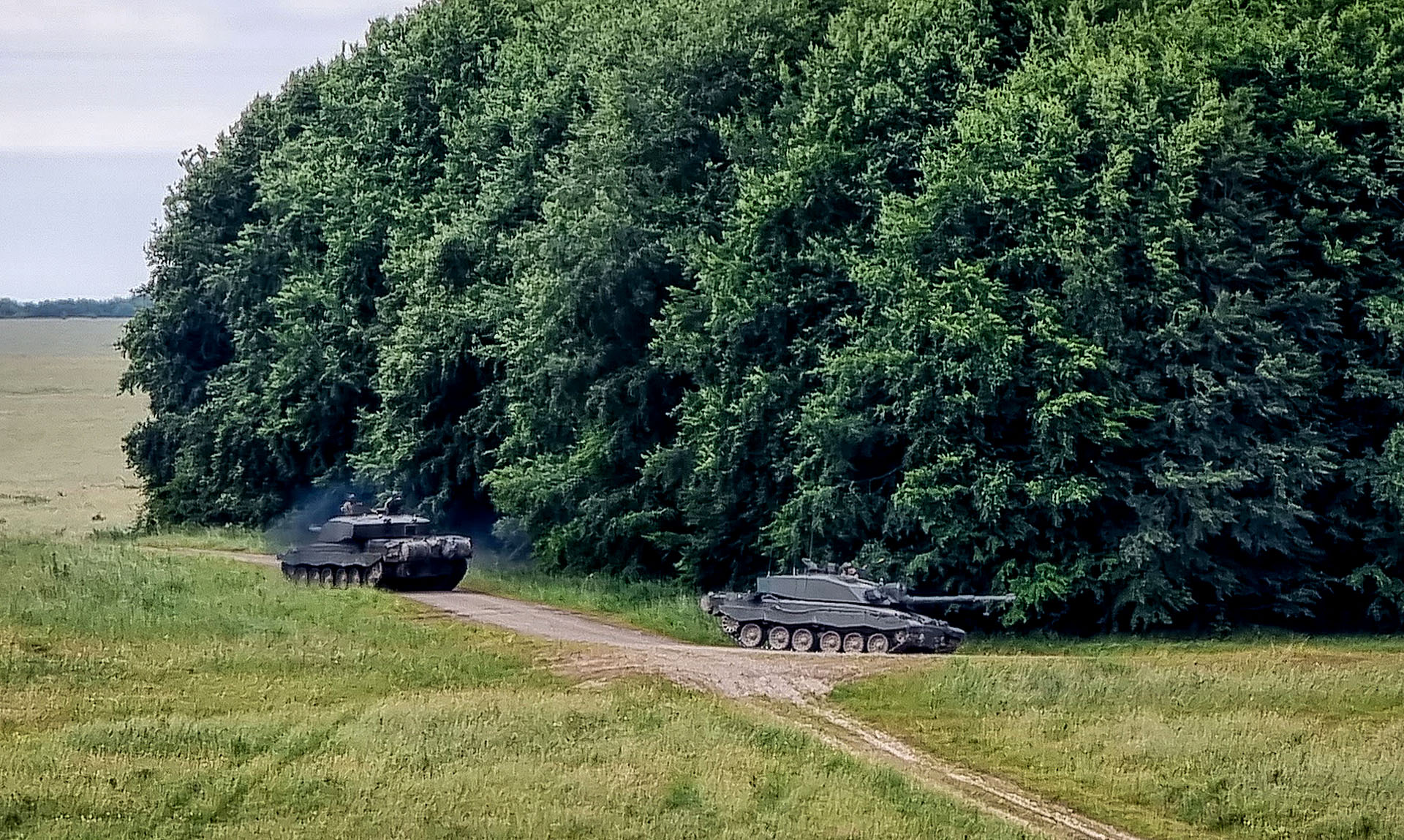
War games at Fox Covert
Out on the plain, not too far away, several tanks were involved in an exercise, with plenty of firing and flares to entertain me. Except, with the recent Russian invasion of Ukraine, this was all deadly serious. I spent a while watching the exercises, wondering where this was all leading.
Turning back north, I passed the ‘White Barrow‘, a substantial Neolithic long barrow near Tilshead owned by the National Trust, that has never been fully excavated. On the way out of the village, at the northern end, there’s a filling station with a mini-supermarket and café, so this is a good spot to take a beak and stock up.
The trail then picks up the Imber Range Perimeter Path. It felt like being on a safari as, ever hopeful, I scanned the surrounding hills for signs of activity! I could see red flags everywhere, and from time to time I heard the sound of gunfire rolling across the plain, but from some way off. But no more tanks for now.
After Gore Cross, the road climbed steadily, arduously in fact with a headwind, on up onto the Ridgeway. To the sound of distant gunfire, I continued riding around the edge of the range. I had not appreciated how vast Salisbury Plain is. In the mid-afternoon light, the land fell away through soft layers of rolling combes and hills, clumps of trees and the occasional military structure standing silhouetted on the high ground.
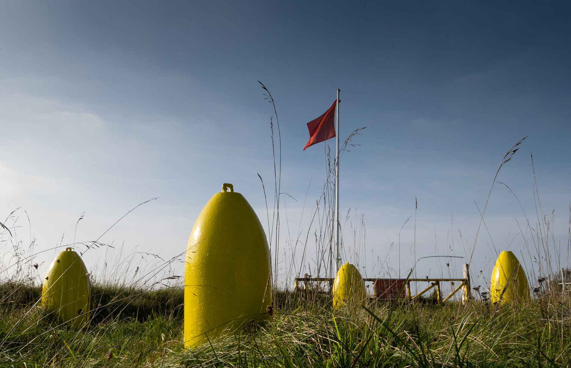
Redhorn Impact Area
The last notable point on the high ground was the ‘Redhorn Impact Area’, where the shells and mortar bombs fall. Hearing gunfire, I stood near one of the red flags and watched shells exploding a couple of kilometres away from me. Thoughts of what the soldiers and civilians were experiencing in Ukraine, and for that matter in too many other parts of the world, flooded back.
In surreal contrast, an information panel here at Redhorn illustrates the rich wildlife across the range, with the added ingredients of shells, wrecked military vehicles, and bunkers. The highlight is the rare Marsh Fritillary butterfly, for which Salisbury Plain is renowned. I was surprised to discover how rich this natural environment is; despite the military activities, for most of the time the landscape here is relatively undisturbed.
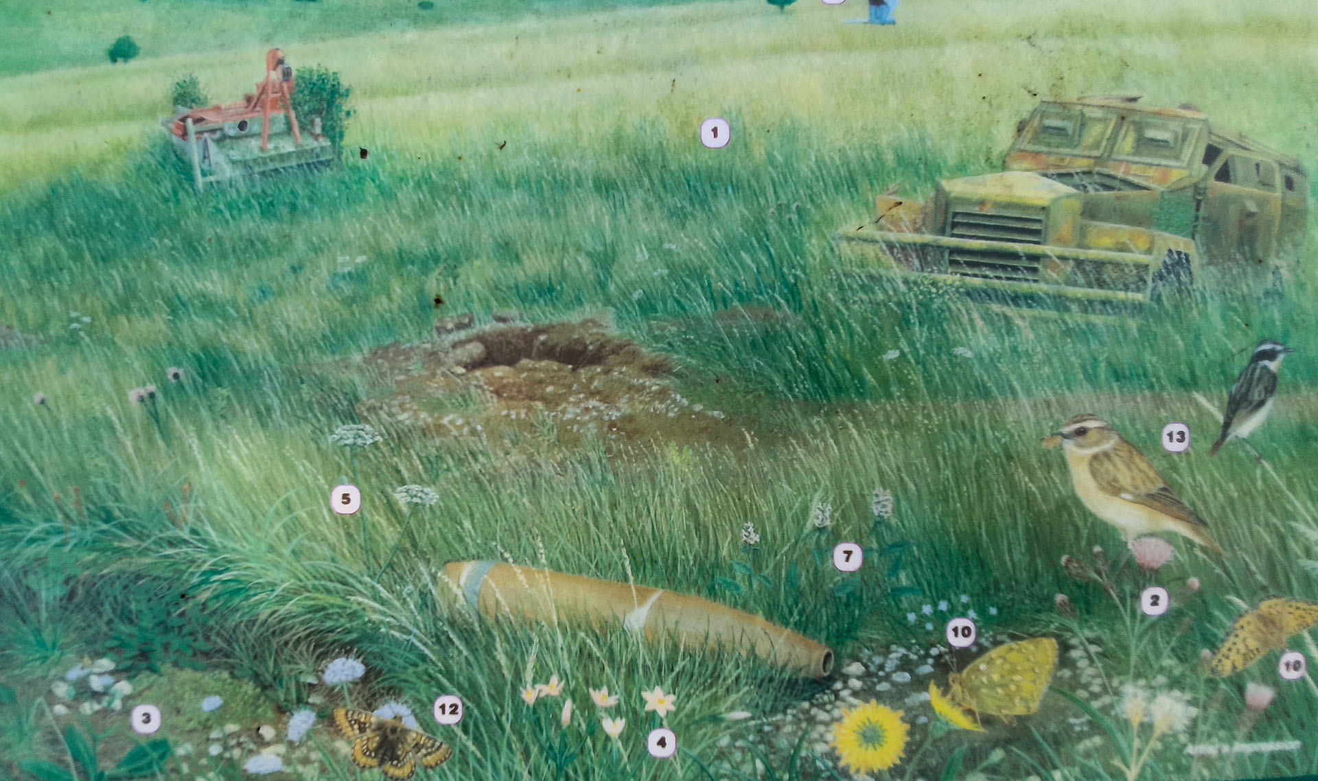
Panel at the Redhorn Impact Area illustrating the rich variety of wildlife, including marsh fritillary butterflies (#12)
Dropping off the escarpment, I was videoing the descent with my GoPro. Watching a pair of red kites, I took my eye off the rutted path, lost my balance, and hurtled into the bushes – mostly soft, apart from the brambles. Ouch, but no harm done.
Every great adventure should have a crash; happily, this was my first (and last).
King Alfred’s Way Lite?
Today, again, I thought my bike was too heavy. I seem to have a lot of stuff. What could I remove for the next trip? My Nikon DSLR camera is quite heavy, but am I ready to rely just on my phone camera? I had brought a sketchbook; that was a mistake as I simply have not had the time to stop and draw for even an hour or so.
I could cut down on biking clothes (from two sets to one), if I can wash and dry them overnight. And one set of pub/sleeping clothes should suffice. I’ll carry out some triage when I’m home (must have, would like, and not needed), and weigh the three piles. I have seen other King Alfred’s Way riders with truly minimal amounts of stuff, but they were much younger than me. Old habits die hard.
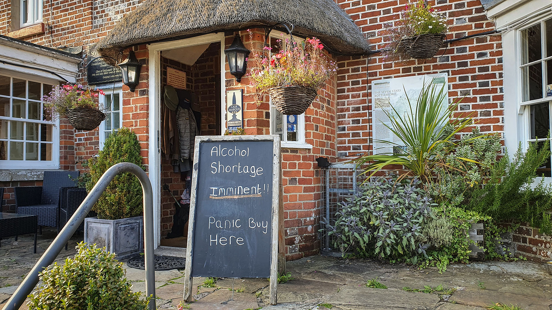
Humour in the Time of Covid, the Seven Stars, Bottlesford
